
Welcome
The following are core services Spectrum Drone & Imaging Services offers. We recognize that there are always are custom solutions to your needs. Spectrum works smartly at implementing the latest technologies in order to serve you with georeferenced imagery and datasets that allows for decision confident decision making. Acquiring accurate, high resolution scaled or perspective dataset products are key to saving time & money, ensuring greater overall crew safety and being able to use real time data and imagery.

Architectural, Engineering & Construction (AEC)
Architectural, Engineering & Construction (AEC)
Architectural, Engineering & Construction (AEC)
Pre-built - As built CAD ready 2D/3D site-plan datasets - digital georeferenced hi-res orthomosaic maps; Site elevation heat and contour maps; Point Cloud datasets for asset classification registration;
Project lifecycle imagery for marketing.

Exterior Building Inspections
Architectural, Engineering & Construction (AEC)
Architectural, Engineering & Construction (AEC)
Workplace safety, Hotspot detection, Maintenance efficiency,
BIM integration, Image data archive.

Energy, Utilities, Telecommunications
Energy, Utilities, Telecommunications
Energy, Utilities, Telecommunications
Tremendous efficiency gains on equipment/asset inspection, direct BIM integration

Real Estate
Energy, Utilities, Telecommunications
Energy, Utilities, Telecommunications
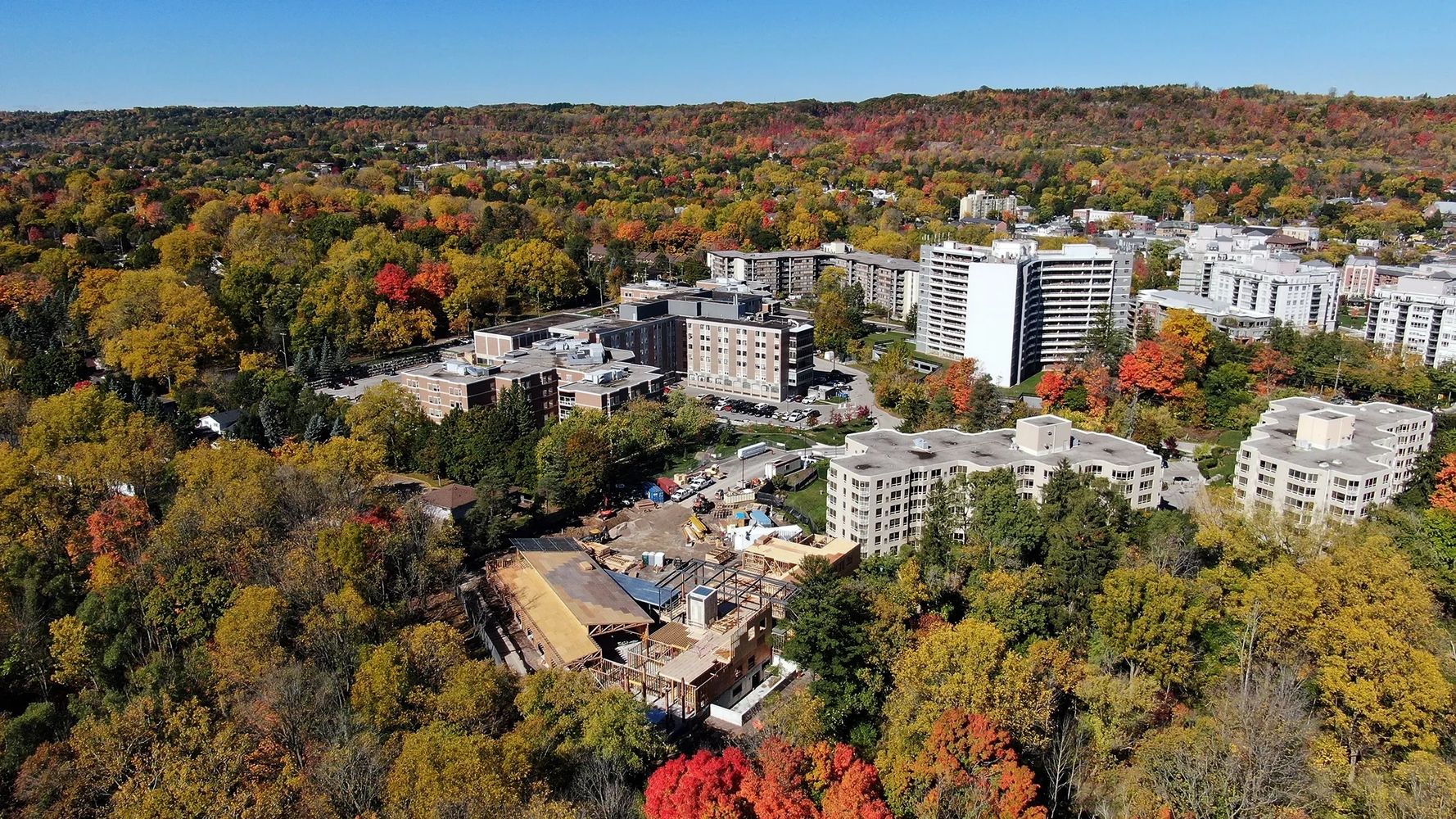
Drone aerial and 360 imagery for architectural, engineering, construction, real estate , residential, industrial exteriors and interiors in 2D, 360, 3D,VR attracts attention and delivers meaningful visuals immediately.
Contact Us
Contact Us
Spectrum Drone Imaging Assistance Connector.
We are happy to answer your questions. Every project deserves a custom approach. We are always expecting unique situations.
Spectrum Drone & Imaging Services
29 Harriet Street, Hamilton, Ontario L8R 2E5, Canada
** 2 Day Booking Notice Please **
Spectrum Drone & Imaging Services
Hamilton, Ontario
Copyright © 2023 Spectrum Drone Imaging Services, Ontario - All Rights Reserved.
Powered by GoDaddy